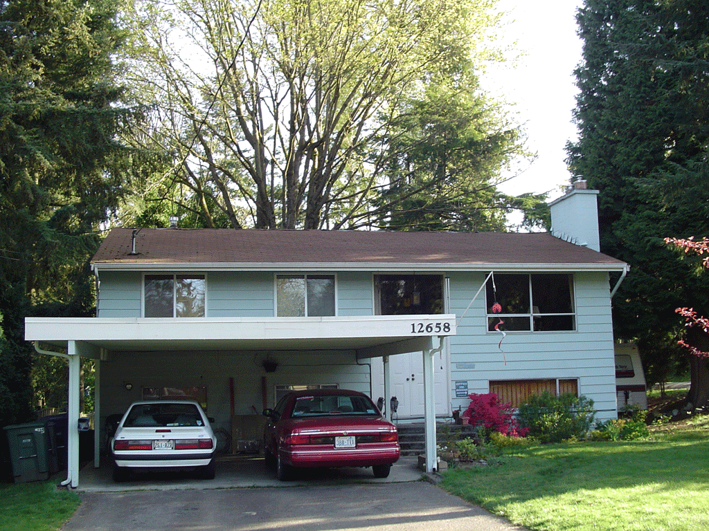
Bellevue, WA. The place where I’ve spent the last 2˝ years. Home to Jack and Lorraine, two of the nicest, lovingest people I’ve ever met. I would be lost if not for their generosity during my stay in the Puget Sound. I will miss them more than anything else in the area. More even than my great friends and coworkers at Galvin’s in Seattle.
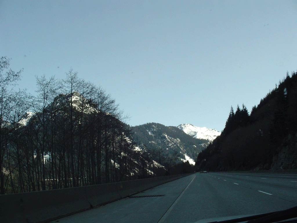
After gassing up, I headed up I-90 (east, as west would have taken me to Seattle’s Quest and Safeco fields, and then into Elliot Bay). The farthest I’d driven east on this road before was to North Bend, barely 20 miles. It may be the family took this road 13 years ago on our last trip in this direction, but I don’t remember it much. I had my learner’s permit and drove a little then, but mostly I had my head buried in my Game Boy. I’ve also flown over these passes to Cle Elem, but nothing looks the same on the ground as from the air. This shot just shows some pretty mountains with week-old snow.
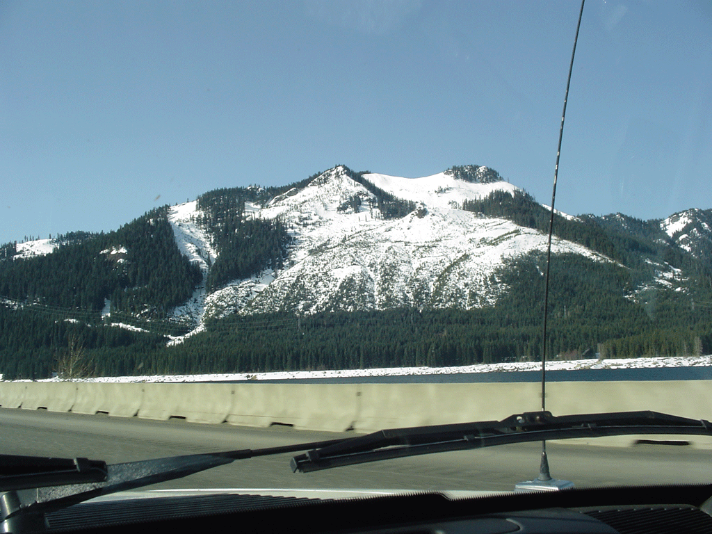
There is a pretty lake at the base of the mountain there, but the camera didn’t quite get it. Another pretty snow-covered mountain, though. No snow on any roads today, thankfully.
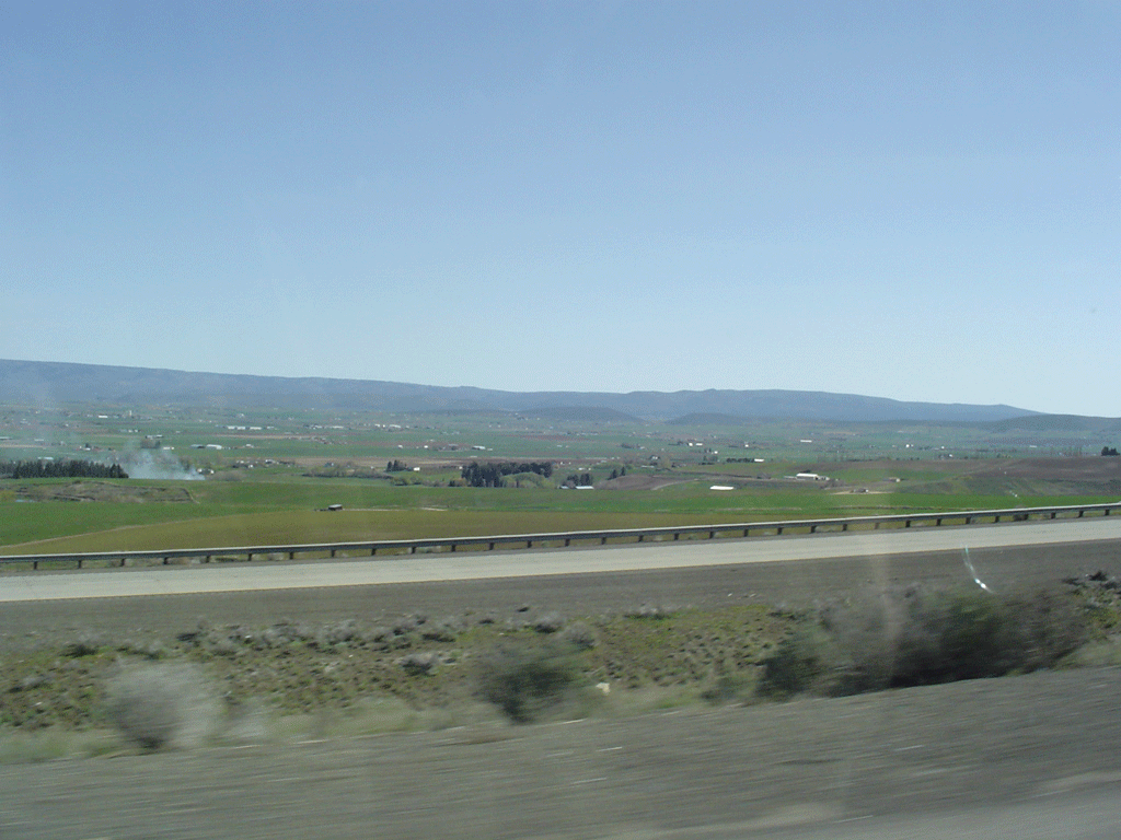
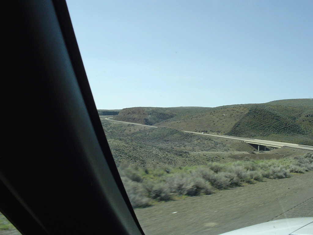
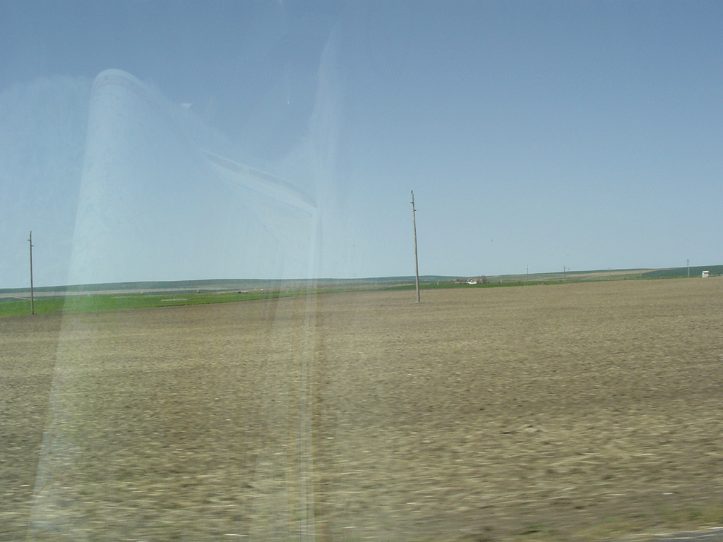
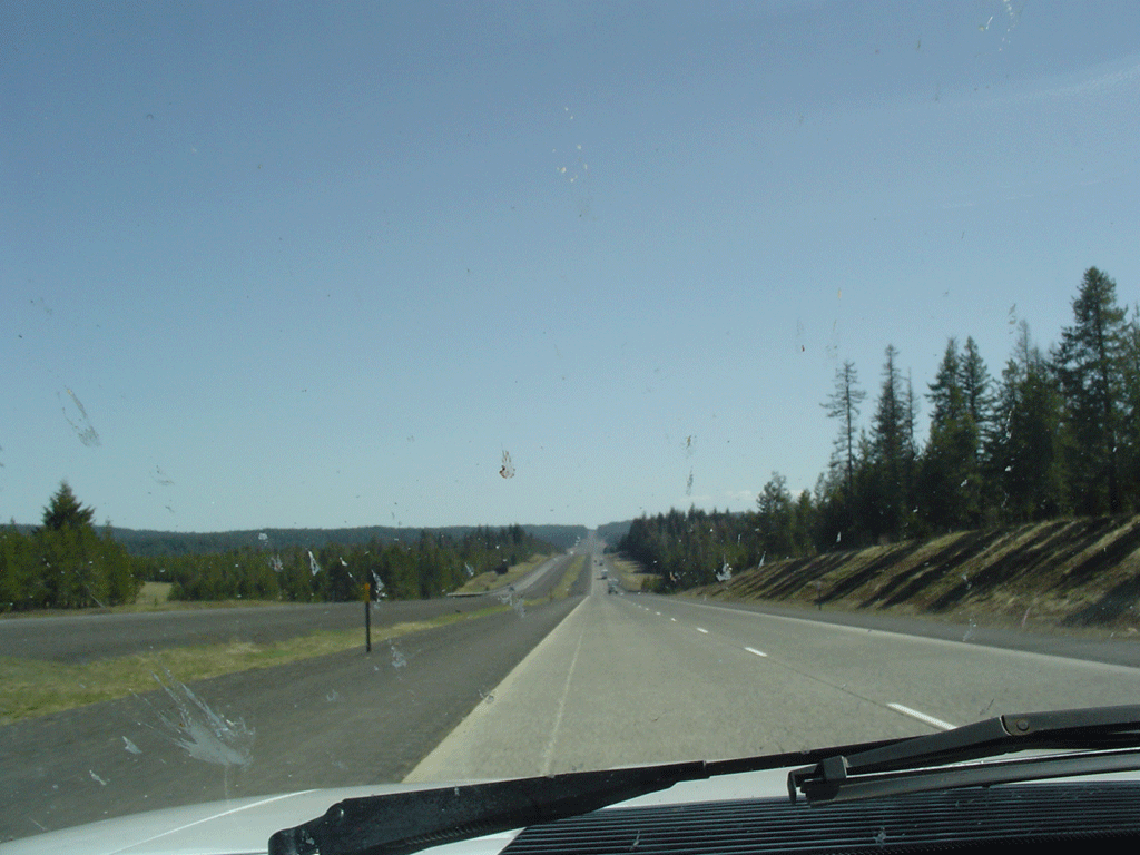
Typical eastern Washington countryside, what with the scattered settlements and rolling hills and such. I’m impressed at my camera’s ability to not blur while I’m driving at 65mph. This trip wasn’t really real until I got through the Cascades. Then I started to realize just what it was I’m doing.
There was a pass here that reminded me of the Arizona landscape, but the camera again didn’t capture it. Wrong angle, I guess. The area I’m thinking of is along I-17 north of Phoenix.
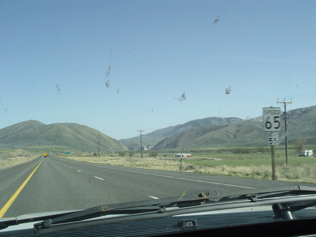
There are two things to note in this shot. One is the surprising number of bugs accumulating on my windshield. I never encountered so much splatter on my commutes between AZ and CA, so I was surprised to see all that today. The second thing is the wind. It was really, really windy east of the Cascades. I was dodging tumbleweed every couple of miles, and bucking a hard crosswind. You can see how strong the wind is by how horizontal the smoke coming from the stacks is. When I got closer to the smoke, I could see that it was just about shearing off the stacks.

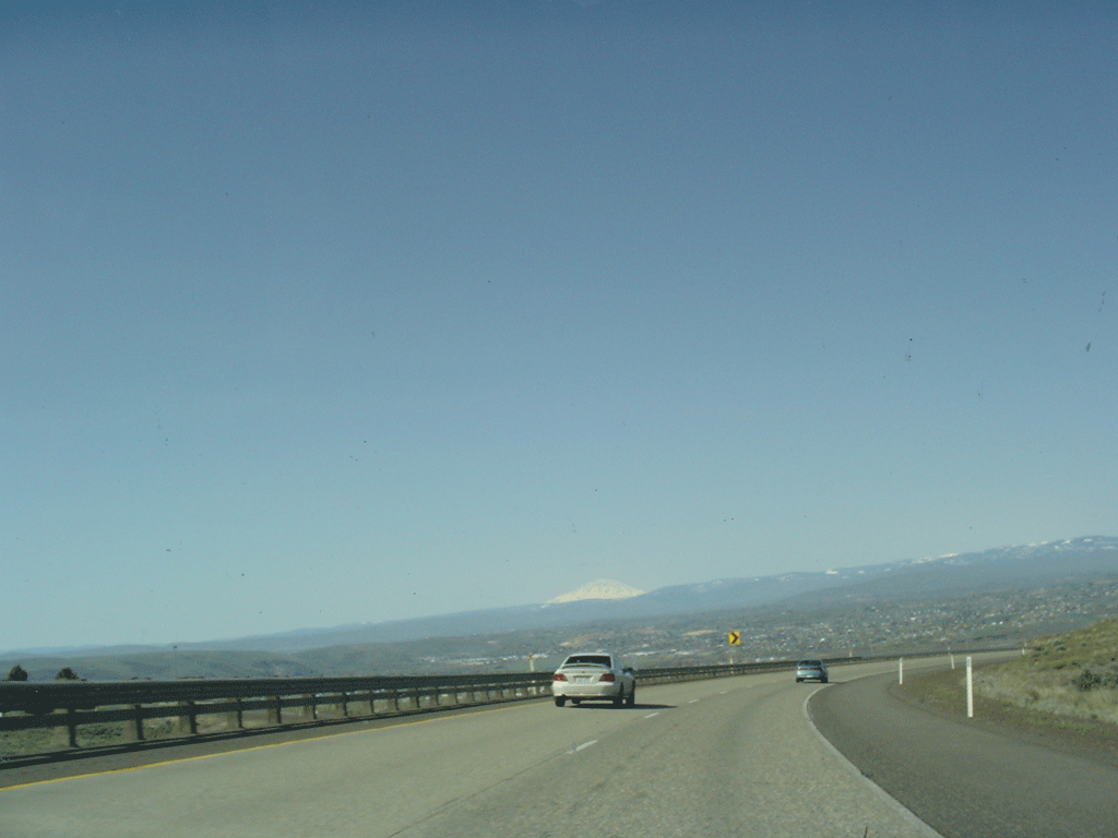
That’s probably Mt. Adams in the distance. I was surprised to be able to see it from here, somewhere around Yakima.

What looks like a cloud above a ridge in the distance is another mountain. I’m not sure which one though. I took this shot moments after the previous one.
The park in Walla Walla, about 2 blocks from the house where the family lived until my sister was about 3. I remember the swings, and how when the wood seats were replaced with rubber, my grandma complained because the rubber squeezed her hips too much. In the direction my car is facing, there’s an artificial wash. I swear there was more of a slope down to a pond where ducks would hang out, but either I remember wrong, or that was a different park.
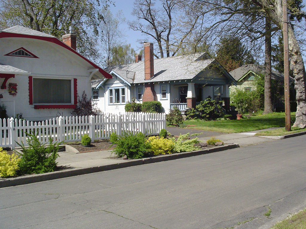
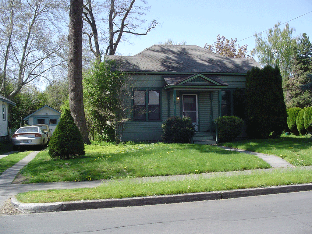
Straight back from the previous shot is Bellevue St., where we used to live. The white house with blue trim was ours. It looks smaller than I remember, but then so does everything in the area. I remember the street being wide like a boulevard. I remember the creepy guy’s house across the street as being at the top of a large hill, and being much darker. The house with the white picket fence was my best friend Justin’s place. That fence was there then, too.

The front yard looks smaller. I remember trying to jump into a pile of leaves my mom had just raked up, and being disappointed that it wasn’t soft, like it looked on TV. The driveway and garage look right, though. I felt weird taking these pictures, especially because there was a woman in the back of the house doing some yard work. I don’t think she saw me, though.
The house next door was grandma’s. Oddly enough, I remember this house as being smaller. A lot less vegetation there as well, but that’s grandma’s green thumb at work.
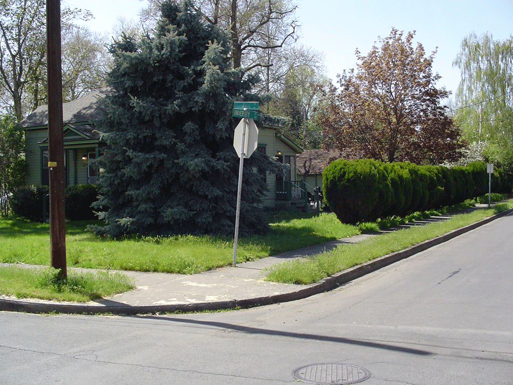
Another shot of grandma’s. Those huge green hedgerows were mere seedlings 23 years ago. The raspberry bushes in the back that had been so overgrown are now taken up by derelict vehicles.
I think this is in Oregon. I don’t know for sure because on highway 11, there is no sign proclaiming "Now Entering Oregon." I’ll bet there is on the interstate. This shot was out the right side of the car.
Taken two seconds after the previous shot, but out the left side of the car.
Trees! In most places, the tree line is a line above which no trees will grow. As I came up this pass that must have climbed 3000 feet, there were suddenly trees. I think the summit was 4139 feet. I forgot to clean my windshield when gassing up in Walla Walla, and this is my punishment.
Am I in Tehachapi, CA, or La Grande, OR? In both places there is a refinery off the side of the road, and a pass beyond. In Tehachapi, though, there are electrical windmills. And also in Tehachapi, there are only one or two bends before coming out the pass on the other side and down into Mojave. In Oregon, however, there must have been six or eight turns before things opened up. So I’m definitely in Oregon.
I ended up in Ontario, Oregon for the night, but not before missing the exit, and making a u-turn in Idaho. There was a huge Mayflower moving van blocking my view of the “lodging this exit” sign, and the subsequent off ramp.